Разместим вашу рекламу admin@russplay.ru

Последняя версия
Версия
5.0.6
5.0.6
Обновить
July 29, 2024
July 29, 2024
Разработчик
Shahul3D
Shahul3D
Категории
Entertainment
Entertainment
Платформы
Android
Android
Загрузки
3
3
Лицензия
Free
Free
Имя пакета
com.shahul3d.indiasatelliteweather
com.shahul3d.indiasatelliteweather
Сообщить
Сообщить о проблеме
Сообщить о проблеме
Подробнее о India Satellite Weather
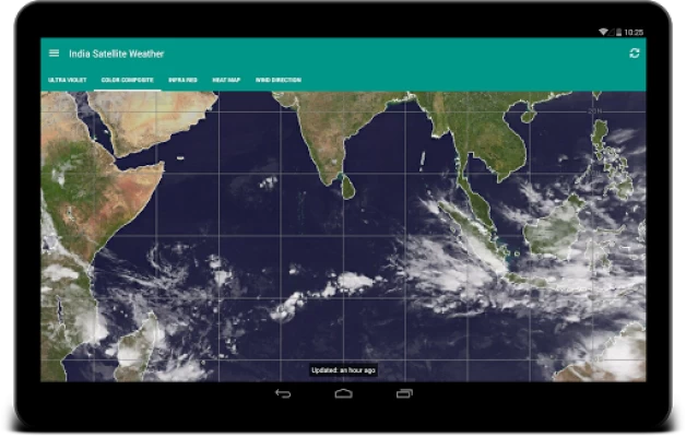
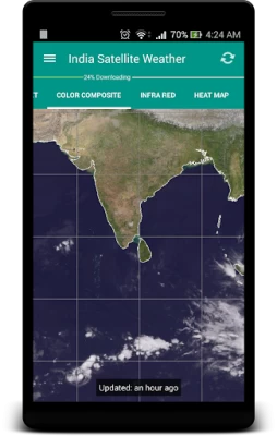
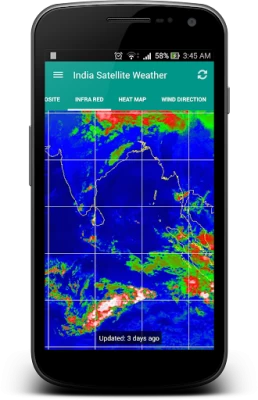
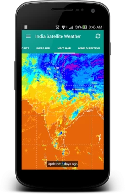
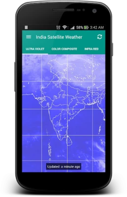
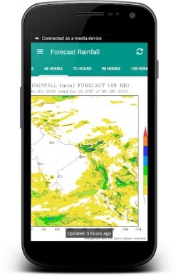
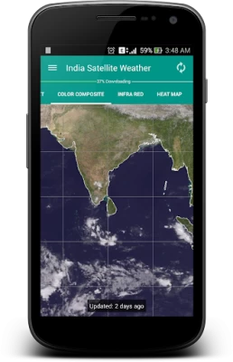
"A picture is worth a thousand words". A complex weather data can be conveyed easily with an image map. By observing the Cloud formations around your City, you can easily predict whether the day is going to be Hot or Rainy/Cloudy.
It is very well equipped with data caching capabilities and will never download duplicate data from the server. The downloaded weather maps will stored locally and can accessed offline.
This application fetches the weather maps directly from Indian Meteorological Department (www.imd.gov.in) and CIMSS [USA] (http://cimss.ssec.wisc.edu)
FYI: I really don't have control on the missing north indian region of some map types because they are provided by USA Meteorological Department.
This is an Open Source Application: https://github.com/Shahul3D/IndiaSatelliteWeather
Feel free to contribute!
Оценить приложение
Добавить комментарий и отзыв
Отзывы пользователей
Основано на 0 отзывах
Пока нет отзывов.
Комментарии не будут одобрены для публикации, если они являются спамом, оскорбительными, не по теме, содержат ненормативную лексику, содержат личные нападки или пропагандируют ненависть любого рода.
Еще »


Популярные приложения

VPN без рекламы — TipTop VPN 4.2TipTopNet

Hi.AI -Общайтесь AI персонажHi.AI Studio

ГосуслугиМинцифры России

NotVPN - Безлимитный ВПН | VPNAppWizard LLC

Need for Speed: NL ГонкиELECTRONIC ARTS

Мой МТСMTS Pjsc

J.P. Morgan MobileJPMorgan Chase

OZON: товары, одежда, билеты 5Internet Solutions LLC

Chase UKJPMorgan Chase

Знакомства@Mail.ruЗнакомства@Mail.Ru

